Architect & 3D Designs, Topographic Survey, RTK, GPS Drone, Soil Test
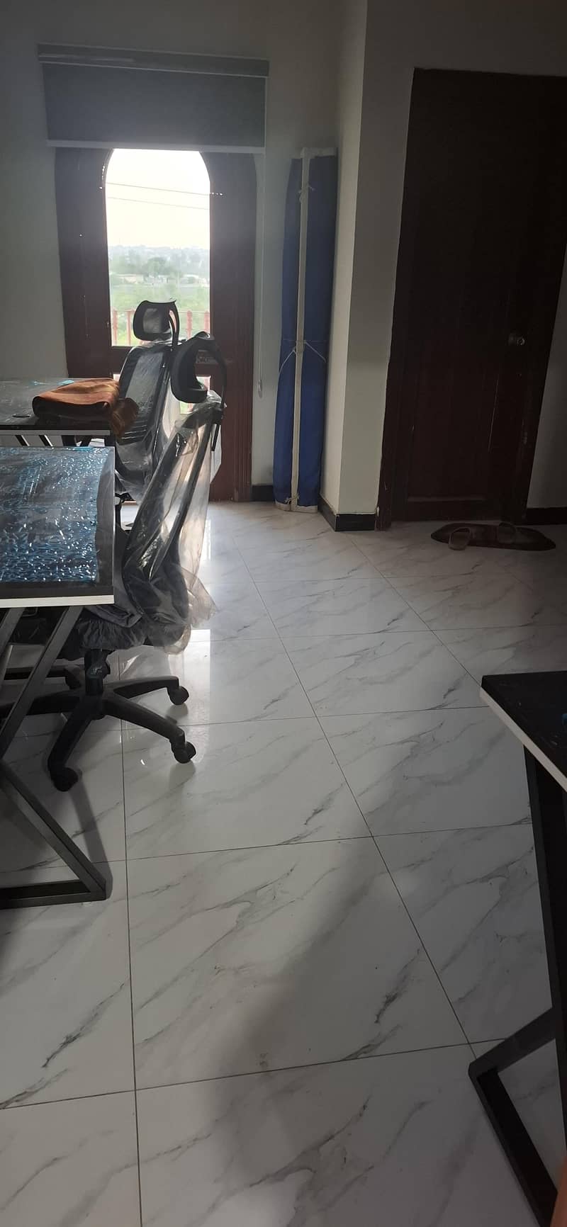
Condition
Used
Description
1- Topographic Survey of Land, Plot, Road, Bridges, Boundary, Canals & Hydropower Projects 2- Traversing 3- Leveling 4- Setting out / Layout for structures 5- Measurement / Calculation of areas 6- Generate Contour Map with all requirements 7- Professional expertise on AutoCAD, Eagle point & Global Mapper software’s For Further Details Call or WhatsApp
More Category
Safety Tips
Meet seller at a safe location Check the item before you buy Pay only after collecting item
Related listing


Rent a Car, Rental Cars,...

Wordpress Development, We...

Marriage Bureau , Online...

Hanifa Home Maid Services...
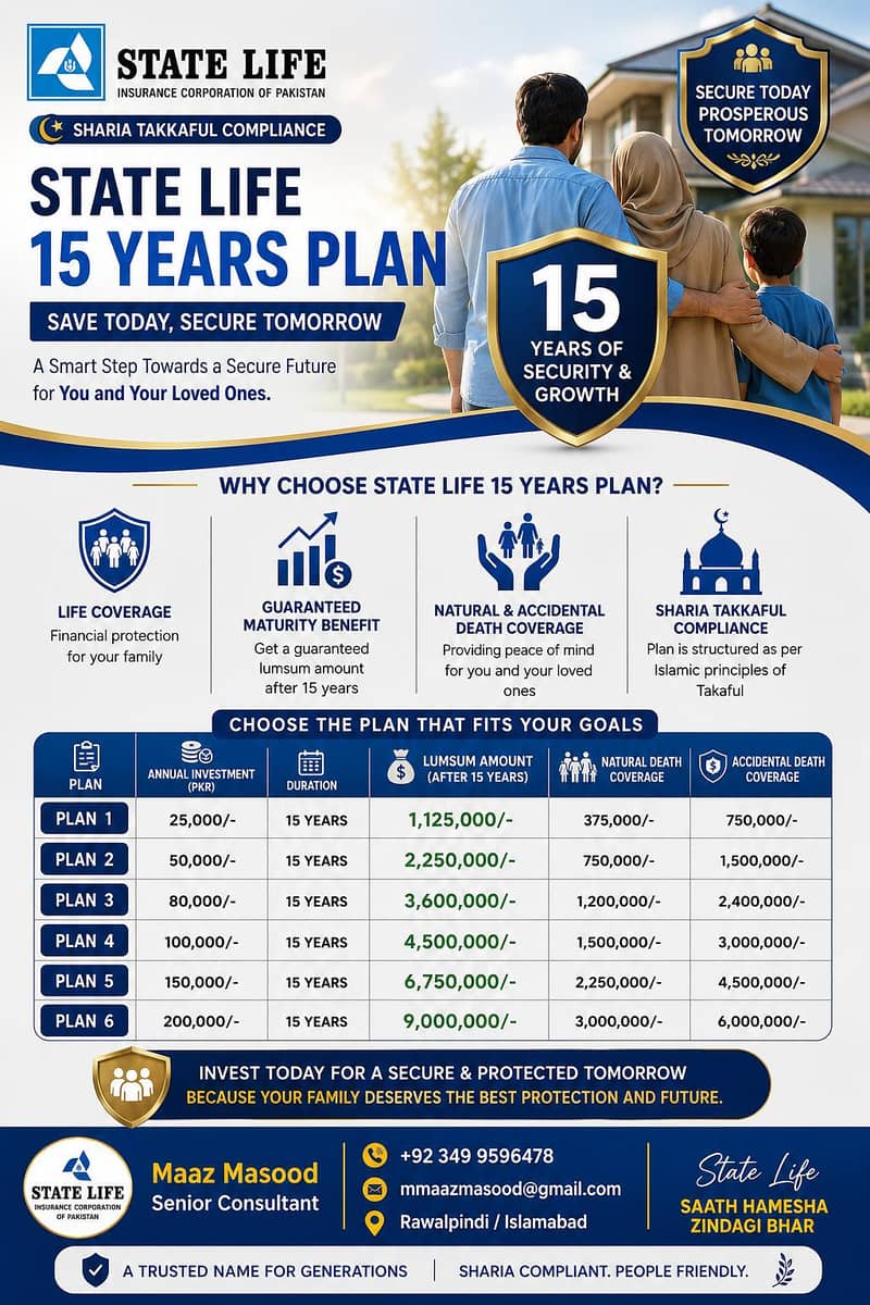
State Life Insurance 20 &...
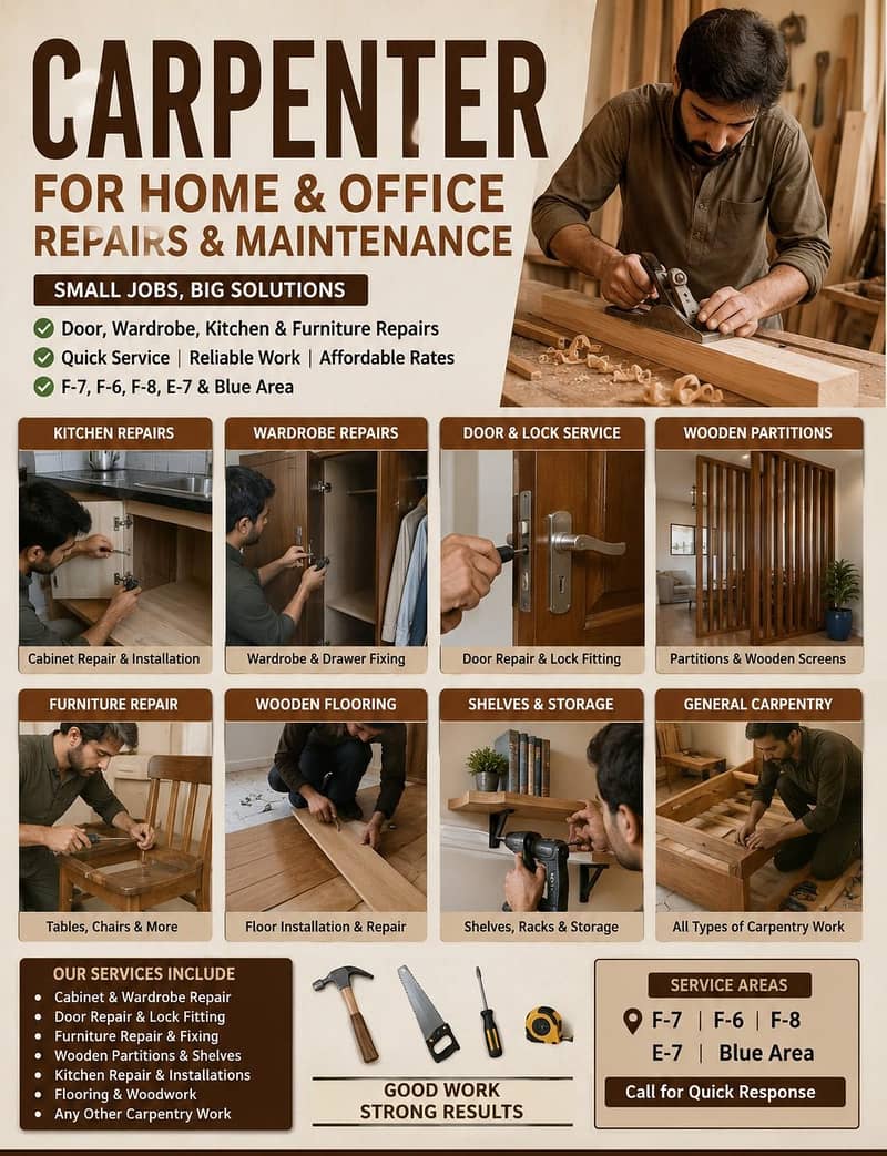
Carpenter for Home & Offi...

House Maids , Babysitter...