

ID: Loading...
Total Stations RTK GNSS Land Surveyor Survey Drone Topography Map
Rs 0
Condition
Used
Description
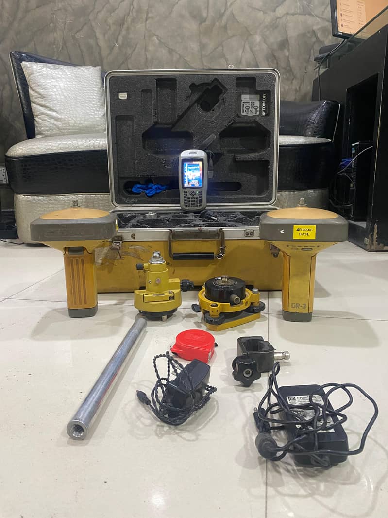
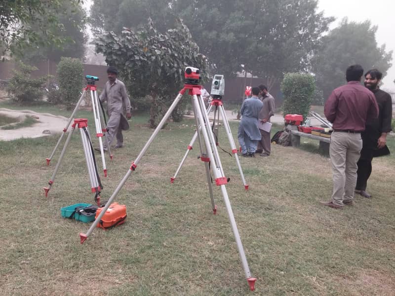
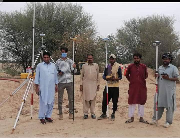
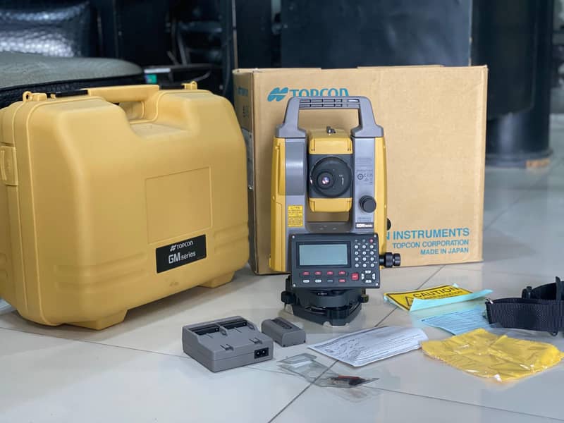
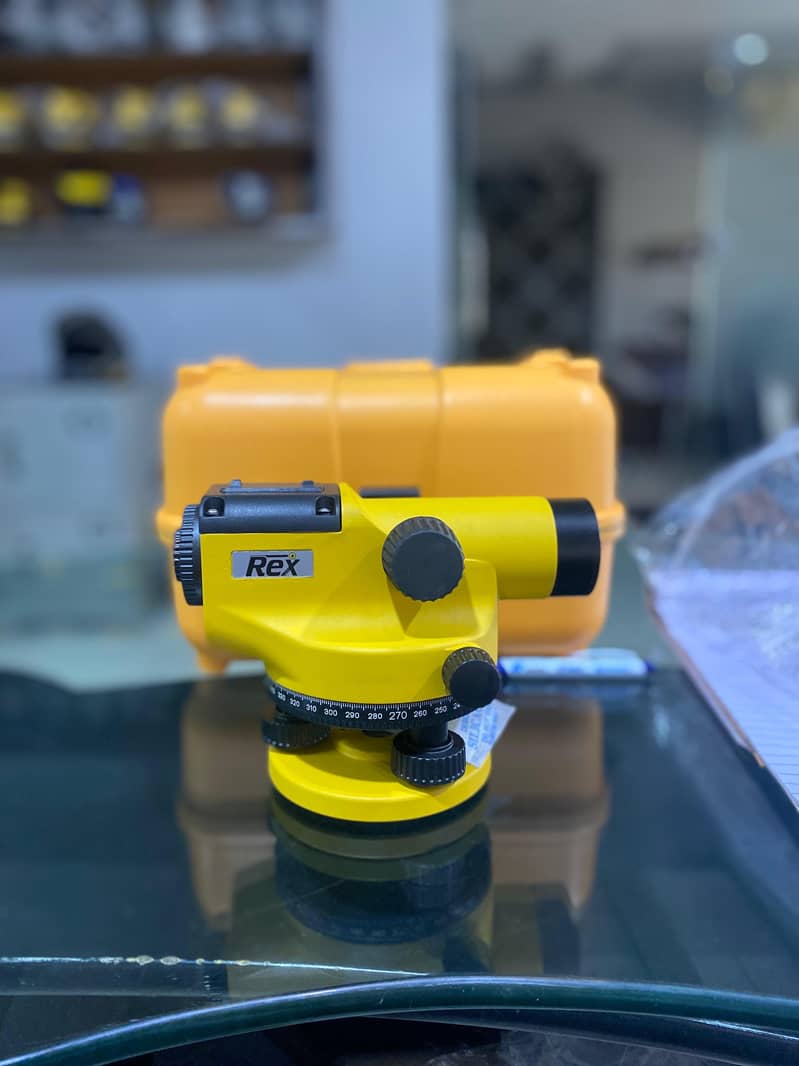
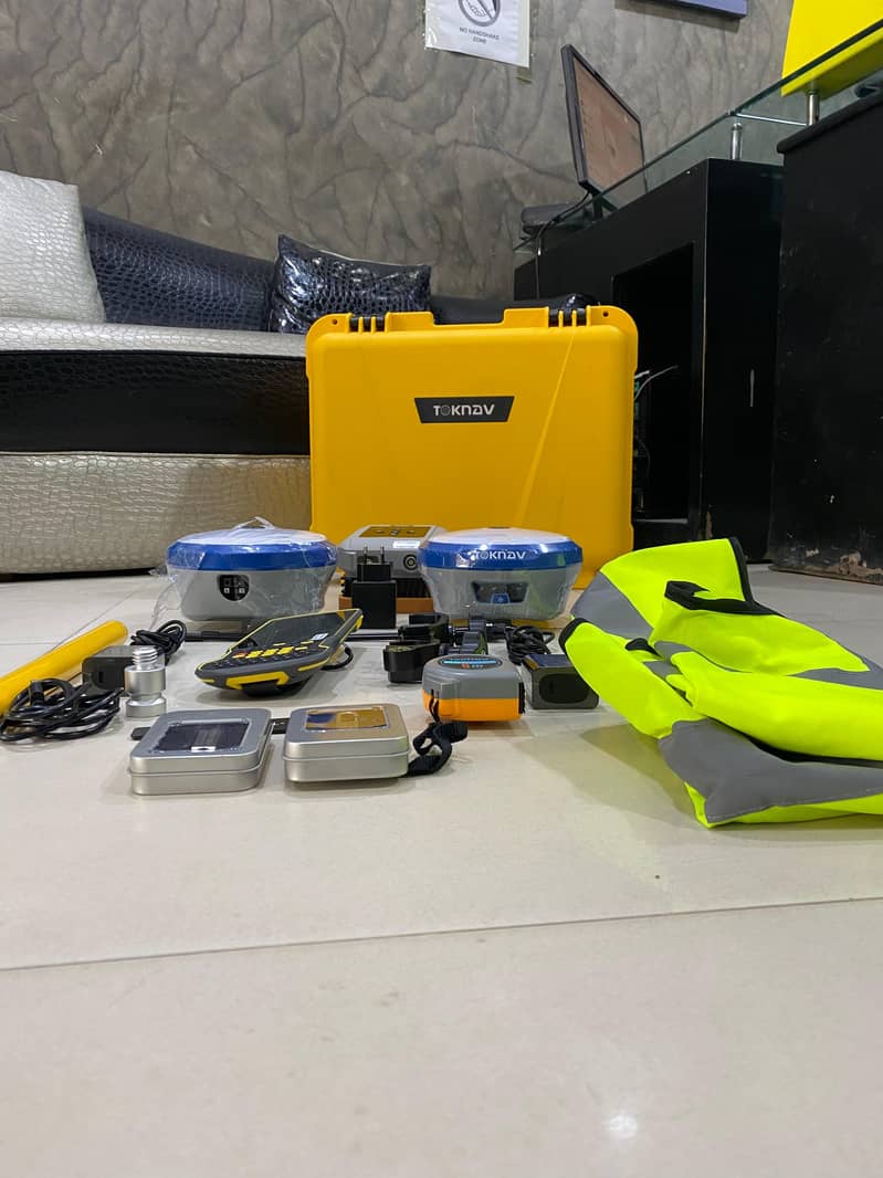
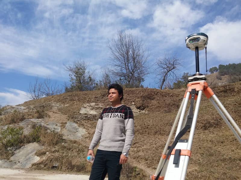
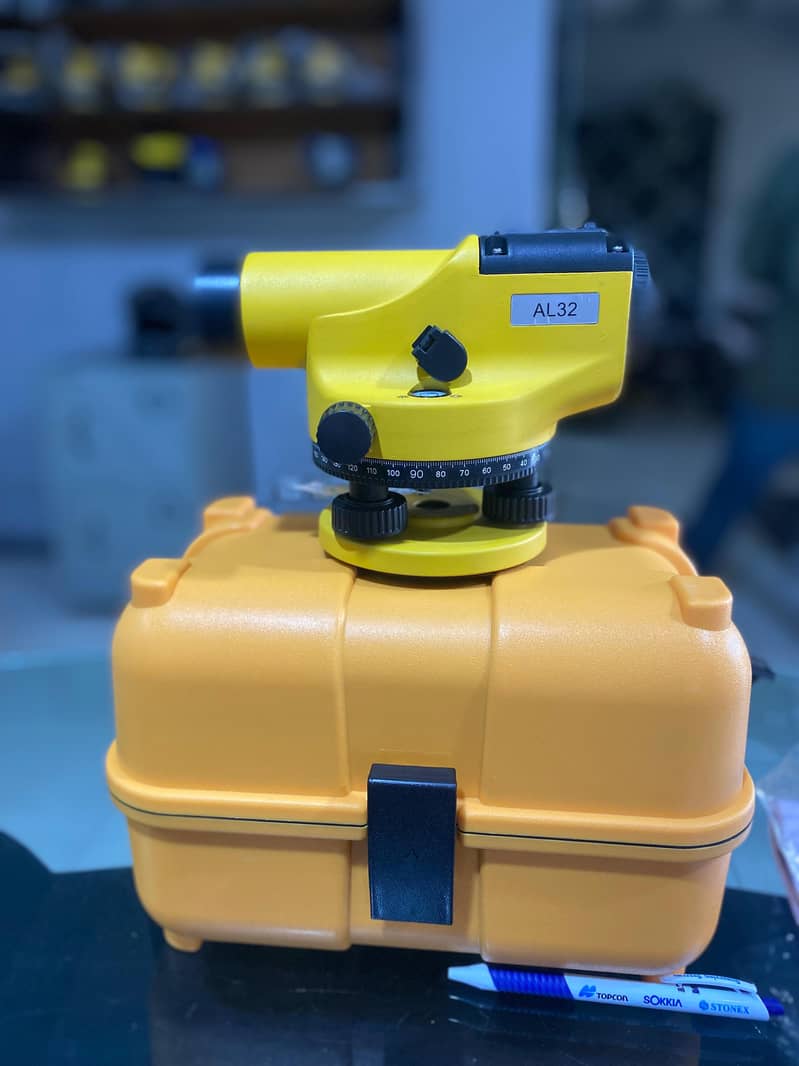
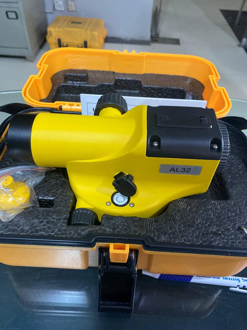
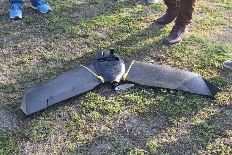
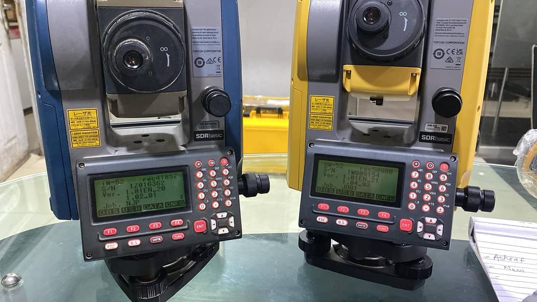
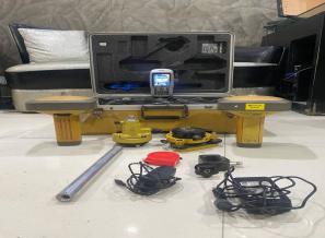
Services available regarding topogrphic Survey, Transmission Line Survey Party, Available on Daily and Monthly Basis, Surveying/ Mapping, Road Construction, Alignment, Centre Line Layout, Surveyors, Engineers, Boundary Land Measurement, GPS, at Reasonable Rates. Please Contact us for more details
Click To Show Number
+92xxxxxxxxxx
More Category
Safety Tips
Meet seller at a safe location Check the item before you buy Pay only after collecting item
related
Related listing


Rs. 5000/Nikkah/Qazi/Regi...
Verified
Karachi

Rent a car | Car Rental o...
Verified
Karachi
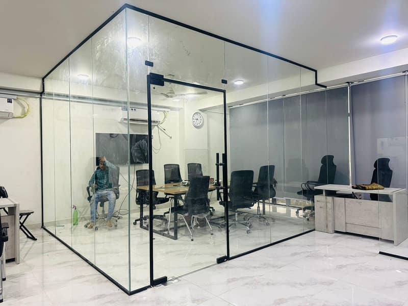
Aluminium & Glass Partiti...
Verified
Karachi

provide maids,cook, babys...
Verified
Karachi

Fridge Repair | AC Servic...
Verified
Karachi
Abdullah Aluminim and Gla...
Verified
Karachi

Rent a car . Hiace and c...
Verified
Karachi
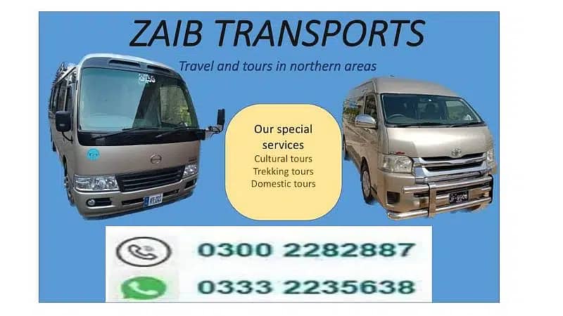
Rent a car , hiace , coas...
Verified
Karachi